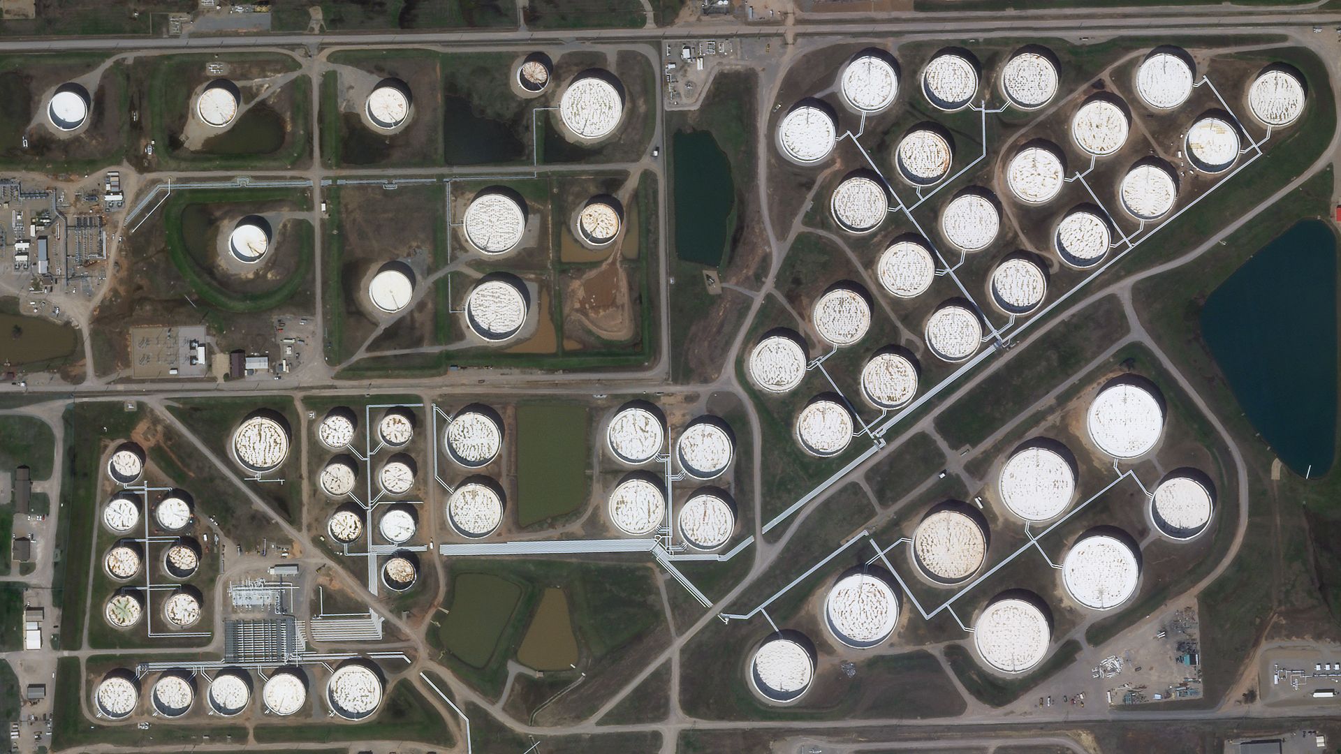
We are continuing our Monday to Friday satellite imagery brain teasers to provide a fun distraction for adults and kids alike during these uncertain times. So, what well-known location, feature or landmark on Earth are we looking at today? Check back tomorrow when we will reveal the answer and see if you guessed right! The answer to Day 29's challenge is at the bottom of this page. Ready? Steady? Here we go…

© 2020 Planet Labs Inc. All rights reserved.

Day 29 answer: The eye of Hurricane Irma, a category 5 hurricane that caused widespread destruction in the northeastern Caribbean and Florida Keys in September 2017. The image was captured by the TerraSAR-X satellite, which collects X-band Synthetic Aperture Radar (SAR) imagery. Launched on June 15th 2007 TerraSAR-X continues to operate today, providing a source of high spatial resolution all-weather imagery with an 11-day revisit period.


Email: satellite.info@cgg.com
Telephone: +44 (0)1732 865023
Website: www.cgg.com/satellite
LinkedIn: CGG Satellite Mapping
Twitter: @CGGsatellite