Our satellite imagery brain teasers continue. What well-known location, feature or landmark on Earth are we looking at this month? Check back next month when we will reveal the answer and see if you guessed correctly. The answer to the previous challenge is at the bottom of this page. Ready? Steady? Here we go…
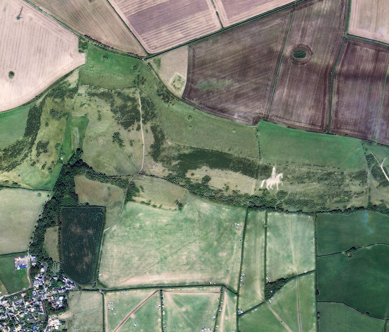
© KARI 2020, Distribution SI Imaging Services

Answer to the previous challenge: Bitterroot Range, Idaho & Montana, United States of America. The false colour composite image was captured by the Landsat-8 satellite. The first Landsat satellite, originally called Earth Resources Technology Satellite (ERTS), was launched in 1972 by NASA. The eighth iteration of the satellite orbits the Earth today, collecting imagery every 16 days across eleven spectral bands.


Email: satellite.info@cgg.com
Telephone: +44 (0)1732 865023
Website: www.cgg.com/satellite
LinkedIn: CGG Satellite Mapping
Twitter: @CGGsatellite