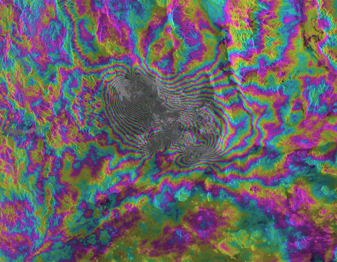
We are continuing our Monday to Friday satellite imagery brain teasers to provide a fun distraction for adults and kids alike during these uncertain times. So, what well-known location, feature or landmark on Earth are we looking at today? Check back on Tuesday (after the Easter long weekend) when we will reveal the answer and see if you guessed right! The answer to Day 8's challenge is at the bottom of this page. Ready? Steady? Here we go…

Day 8 answer: Islands of Four Mountains, Aleutian Islands. The image was captured by the Landsat-5 satellite. The first Landsat satellite, originally called Earth Resources Technology Satellite (ERTS), was launched in 1972 by NASA. The then director of the United States Geological Survey, Dr V. E. McKelvey, wrote "The ERTS spacecraft represent the first step in merging space and remote-sensing technologies into a system for inventorying and managing the Earth's resources". Landsat-5 spent 29 years orbiting the planet, making it the longest serving Earth Observation (EO) satellite mission in history.
Email: satellite.info@cgg.com
Telephone: +44 (0)1732 865023
Website: www.cgg.com/satellite
LinkedIn: CGG Satellite Mapping
Twitter: @CGGsatellite
