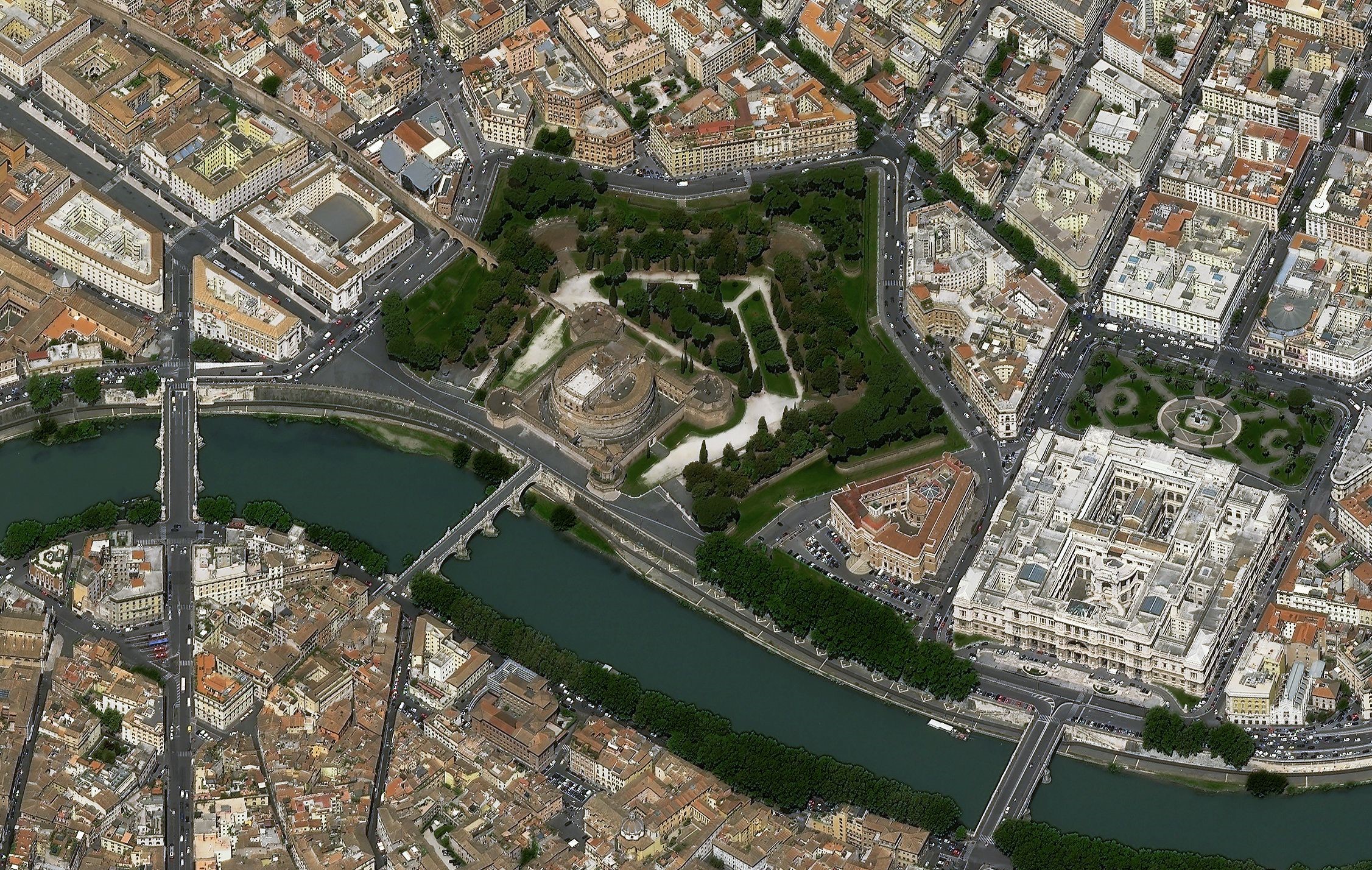
Our satellite imagery brain teasers continue... What well-known location, feature or landmark on Earth are we looking at this month? Check back next month when we will reveal the answer and see if you guessed correctly. The answer to the previous challenge is at the bottom of this page. Ready? Steady? Here we go…

Answer to the previous challenge: Brahmaputra River, upstream of Guwahati, India. The two optical satellite images show different water levels in the river linked to seasonal snow melt. The images were captured in October 2020 and April 2021 by the PlanetScope satellite constellation (the individual satellites are called Doves). PlanetScope imagery has a spatial resolution of 3.7 m and the constellation has daily refresh capabilities.