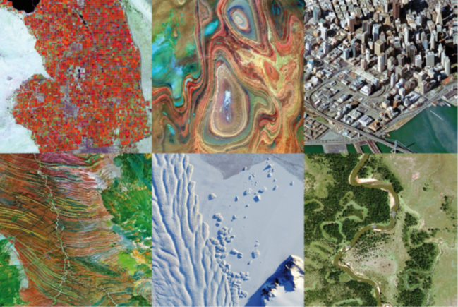
We are CGG's Satellite Mapping team, a world-leading supplier of satellite imagery and elevation data, and innovative derived mapping and monitoring solutions. Established in 1972, and based in the South-East of England, we are a group of experts with a passion for harnessing the unique capabilities of satellite imagery to address the challenges our clients face.
The Best Imagery and Elevation Data
Our knowledge and experience provides an easy means of navigating the increasingly complex world of satellite imagery and elevation data. Our status as an independent supplier for satellite operators around the globe guarantees comprehensive and impartial advice, every time.
Unlocking intelligence
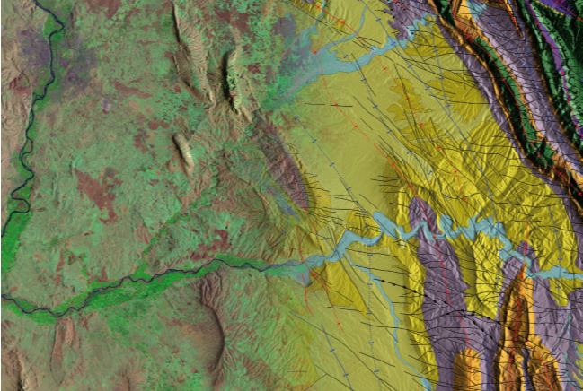
Our technology and expertise transform satellite image pixels into actionable information, reducing risk and uncertainty across a variety of applications and markets including Energy, Mining, Engineering, Environment and Defence.
Our deep remote sensing expertise is combined with state-of-the-art artificial intelligence approaches and high-performance computing to address the big data opportunities contained within vast, ever-growing imagery archives.
Email: satellite.info@cgg.com
Telephone: +44 (0)1732 865023
Website: www.cgg.com/satellite
LinkedIn: CGG Satellite Mapping
Twitter: @CGGsatellite