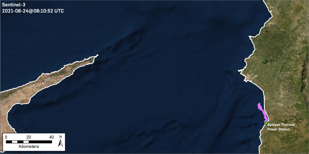
An update with the output of latest SeaScope analysis showing ongoing slick progression associated with the Baniyas oil spill from August 24th to September 2nd (derived from a combination of SAR and moderate and low resolution optical)...
Previous blog posts:
- September 1st: https://satelliteblog.cgg.com/seascope-baniyas-september1/
- August 31st: https://satelliteblog.cgg.com/seascope-baniyas-august31/
- August 27th: https://satelliteblog.cgg.com/seascope-baniyas-blacksea/